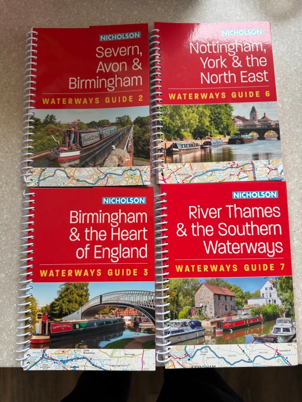
This week I received.a package in the post. It contained not a Christmas present, but four books with maps and routes of the canal network in the UK.
Narrowboaters have many options for navigating these days. We use a website called CanalPlan AC and an app called OpenCanalMap. But most boaters also like to read the guides. Some use the ones from Pearsons, but we prefer the originals – the Nicholsons. They have good maps of the routes, helpful lists of pubs and places to visit, and honest descriptions of the towns and villages on the route.
I also have a personal connection to the Nicholsons because one of my friends is the main author, Jonathan Mosse. I met him about ten years ago at a barbecue for narrowboaters in Scotland. He lent us a long chain for an anchor when we travelled the tidal river Clyde. And since we have been in England we have used our Nicholsons to navigate the huge network of rivers ad canals across the country.
Once a year I let Jonathan know all the changes and edits we have found in the books. Perhaps a pub has closed. Perhaps a bridge is incorrectly numbered. Perhaps we have discovered a wonderful new cafê. In return he sometimes sends me new editions, and that was what I received this week. In fact, guides 2 and 3 have not even been published yet. They come out in February but Jonathan has got me early copies.
We have been living in bricks and mortar houses since October, albeit with six weeks in the Outer Hebrides. I am itching to be back on Narrowboat Thuis. We won’t get properly going till March but perhaps we can get a week or two on the boat while it is moored in the Marina. Maybe New Year in our Narrowboat, with me, Mandy, the dogs and reading my new books. Sounds good to me.


